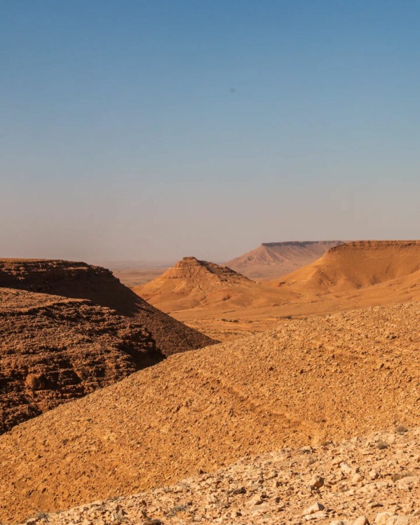
Matus

The name Matus is repeated in Ibadi sources as a proper Berber name, where the name Matus is mentioned and sometimes Matus Ibn Matus, and it was mentioned by the historian Al-Shamakhi as a tax collector for Tripoli. Matos, son of Aaron, is also mentioned. Professor Muhammad Hassan believes that the word matus is a Latin name. Also, the word “matos” ends with “aws.”It is likely to date back to the Roman period.Location: Matous is located west of Saqdal and east of Beni Qandil, on the road linking Tataouine and El-Barma, approximately 7 kilometers south of the village of Kampot. Matous is located on Shahed Hill.It is connected to the Dumar mountain range from the tribal side.The historical background, based on the location of the landmark, makes it one of the landmarks whose construction date dates back to the Roman period, in a very strategic location. It serves as a gateway that allows for monitoring the passage between the desert, the non-Roman domain, and the limas that govern the transition to the Roman domain, and the name “Matos” serves as a continuation of the landmark’s history to the period. Islamic name became common in Ibadi sources and was given to the site and to people alike.Matous is mentioned at the beginning of the fifth century AH as a place to which the Al-Masuriyya Al-Bakriya moved, and it is a mobile group attributed to Abu Zakaria Faisal bin Maswar Al-Yahransi and Abu Abdullah Muhammad bin Abi Bakr, where it is a wandering group that moved from Matos, Ghalana, Qastila (Al-Jarid). She made long trips to Kairouan, the coast, and Djerba to spread the movement.Urbanization also continued in Matos until the end of the modern period, when the tribal rivalry intensified and the desert trade declined, which caused a crisis in the living conditions of the tribes in the south. Here, urban life declined, and its religious people, linked by friendly relations with the Tarifa, moved to Henshir, Majaz al-Bab, in Beja, and the degree of impact on this site was severe.